


FACULTY OF GEOMATICS AND LAND ADMINISTRATION - UNIVERSITY OF MINING AND GEOLOGY
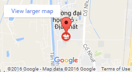
Address: 10th Floor, Building C12, University of Mining and Geology, N0 18 Vien Street, Duc Thang, Bac Tu Liem, Ha Noi, Vietnam
Office phone: +8424.38 38.7568
Email: tracdiabando-quanlydatdai@humg.edu.vn
© 2020 - Copyright by Faculty of Geomatics and Land administration